
Water Trails & Routes

Existing Water Trails
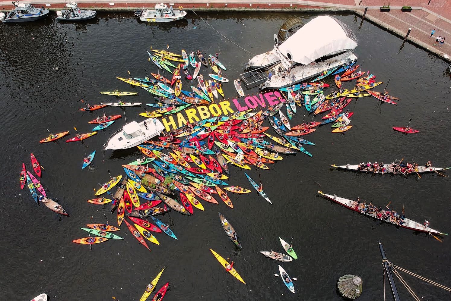
A Blueway Trail is a designated route along a waterway specifically designed for people to use non-motorized boats like kayaks, canoes, standup paddleboards, or rowboats. The trails, also called water trails, are the aquatic equivalent of a hiking trail (or “greenway”).
Water trails feature well-developed access points; are near significant historic, environmental, or cultural points of interest; and often include nearby amenities such as restaurants, hotels, museums, or parks.

-
Middle Branch Loop
Beginner | 2.5 miles

-
Baltimore Peninsula Trail
Beginner | 1.5 miles

-
Inner Harbor - North Shore Loop
Intermediate | 5.5 miles

-
Inner Harbor - South Shore Loop
Intermediate | 4 miles

-
Patapsco River Trail
Intermediate | 7.5 miles

-
Masonville Cove Trail
Intermediate | 4.2 miles

-
Fort McHenry Crossing
Intermediate | 5.8 miles
